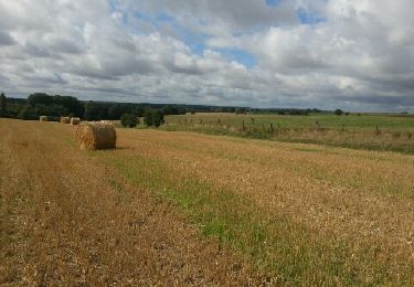
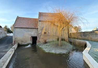
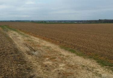
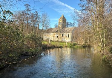
Tour Wandern Ponts sur Seulles - lantheuil 10 kms 2017 - Photo

lantheuil 10 kms 2017

 aubinjoel
aubinjoel

Benutzer

© OpenStreetMap contributors
Länge
Länge
8,9 km
Maximale Höhe
Maximale Höhe
46 m
Positive Höhendifferenz
103 m
Km-Effort
Km-Effort  
10,3 km
Min. Höhe
Min. Höhe
5 m
Negative Höhendifferenz
104 m
Boucle
Boucle
Ja
Erstellungsdatum :
2017-07-10 00:00:00.0
Letzte Änderung :
2017-07-10 00:00:00.0

(1 Nachricht)

Wandern
Wandern
--
Schwierigkeit : Einfach

Scannen Sie diesen QR-Code, um die Tour in der SityTrail-Anwendung zu öffnen

Kostenlosegpshiking-Anwendung

Logo SityTrail SityTrail

IGN / Geografische Institute

SityTrail aus dem App Store herunterladen SityTrail von Google Play herunterladen

Logo SityTrail SityTrail World

Die Welt öffnet sich für Sie

SityTrail aus dem App Store herunterladen SityTrail von Google Play herunterladen SityTrail auf Huawei AppGallery herunterladen

Über SityTrail

Tour Wandern von 8,9 km verfügbar auf Normandie, Calvados, Ponts sur Seulles. Diese Tour wird von aubinjoel vorgeschlagen.

Höhenprofil

POIs

POI Ponts sur Seulles - 1 - Photo
aubinjoel
PONTS SUR SEULLES 
POI Ponts sur Seulles - 2 - Photo
aubinjoel
PONTS SUR SEULLES 
POI Ponts sur Seulles - 3 - Photo
aubinjoel
PONTS SUR SEULLES 
POI Ponts sur Seulles - 4 - Photo
aubinjoel
PONTS SUR SEULLES 
POI Ponts sur Seulles - 5 - Photo
aubinjoel
PONTS SUR SEULLES 

Ort

Land:
France
Region :
Normandie
Abteilung/Provinz :
Calvados
Kommune :
Ponts sur Seulles
Standort:
Lantheuil
Gehen Sie:(Dec)
Gehen Sie:(UTM)
681552 ; 5461148 (30U) N.

Kommentare

Bitte melden Sie sich an, um einen Kommentar oder eine Bewertung zu hinterlassen


très content utilisateur depuis 2 ans


Touren in der Umgebung

Tour sport Rots - Secqueville5 - Photo
sport
papylou7

sport

Sehr leicht
(1)
Rots, Normandie, Calvados, France
5,2 km | 5,6 km-effort
Unbekannt
Nein
Tour Zu Fuß Le Fresne-Camilly - autours de Fresne-Camilly, Fontaine Henry - Photo
Zu Fuß
Privatb

Zu Fuß

Medium
(1)
Le Fresne-Camilly, Normandie, Calvados, France
18,8 km | 21 km-effort
4h 50min
Ja
Tour Wandern Fontaine-Henry - Fontaine-Henry-Claude - Photo
Wandern
gr1346

Wandern

Einfach
(1)
Fontaine-Henry, Normandie, Calvados, France
7,8 km | 9,1 km-effort
2h 1min
Ja
Tour Mountainbike Creully sur Seulles - creuilly- asnelles - Photo
Mountainbike
mouss65

Mountainbike

Medium
Creully sur Seulles, Normandie, Calvados, France
44 km | 49 km-effort
2h 42min
Ja
Tour sport Cairon - Départ Cairon  - Photo
sport
papylou7

sport

Sehr leicht
Cairon, Normandie, Calvados, France
14,1 km | 15,9 km-effort
Unbekannt
Ja
Tour Mountainbike Fontaine-Henry - reco vtt photo CTDCCR2016 - Photo
Mountainbike
mouss65

Mountainbike

Einfach
Fontaine-Henry, Normandie, Calvados, France
14,1 km | 16,1 km-effort
1h 9min
Nein
Tour sport Thaon - VTT avec Jules - Photo
sport
papylou7

sport

Sehr leicht
Thaon, Normandie, Calvados, France
17 km | 19,8 km-effort
Unbekannt
Ja
Tour sport Thaon - VTT 28/12/2023 - Photo
sport
papylou7

sport

Sehr leicht
Thaon, Normandie, Calvados, France
23 km | 26 km-effort
Unbekannt
Nein
Tour Zu Fuß Fontaine-Henry - j 3 fontai henry   - Photo
Zu Fuß
chrisdouville

Zu Fuß

Einfach
Fontaine-Henry, Normandie, Calvados, France
8,9 km | 10,6 km-effort
2h 24min
Ja


Schließen
Meine Abonnements